Please find an English version of this article below.
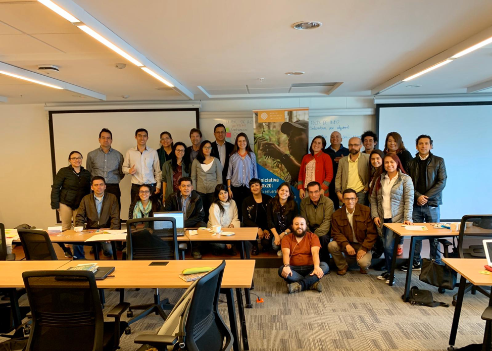
El pasado 24 y 25 de octubre se llevó a cabo en la Universidad Javeriana, en Bogotá, el primer taller para la construcción de la Estrategia Nacional de Monitoreo de la Restauración (ENMR) de Colombia. El Ministerio de Ambiente y Desarrollo Sostenible (Minambiente) y el Instituto de Hidrología, Meteorología y Estudios Ambientales (IDEAM), con el apoyo de la Comisión de Ciencia y Tecnología de la Mesa Nacional Asesora de Restauración (MARN), convocaron a los miembros del Sistema Nacional Ambiental (SINA) con el fin de elaborar una hoja de ruta hacia la ENMR en el marco del Plan Nacional de Restauración (PNR) y el Plan Nacional de Desarrollo (PND) 2018-2022.
El Plan Nacional de Desarrollo 2018-2022, en su Línea 4 del Pacto por la Sostenibilidad (Instituciones Ambientalmente Modernas, Apropiación Social de la Biodiversidad y Manejo Efectivo de los Conflictos Socioambientales) establece la necesidad de consolidar un Sistema Nacional de Información, Monitoreo y Reporte de Restauración, encabezado por IDEAM, que articule los sistemas de información existentes. Además, el Plan Nacional de Restauración contempla dentro de la Fase II de su Plan de Acción, la elaboración de la Estrategia Nacional de Monitoreo de la Restauración.
El objetivo del taller fue presentar y evaluar el estado de desarrollo de los sistemas e instrumentos de seguimiento y evaluación de las acciones de restauración en Colombia e identificar los retos y oportunidades para su fortalecimiento con el fin de elaborar la hoja de ruta hacia la Estrategia Nacional de Monitoreo de la Restauración.
Algunos temas prioritarios que se discutieron en el taller fueron cómo se realizar el reporte y monitoreo de las metas planteadas por el nuevo Gobierno tales como la siembra de 180 millones de árboles a 2022, además de la ampliación del reporte y monitoreo más allá de la acción del gobierno y las Corporaciones Autónomas Regionales, hacia acciones llevadas a cabo por otros actores del sector privado y la sociedad civil. También se enfatizó la necesidad de monitorear, más allá del número de hectáreas en proceso de restauración, los impactos biofísicos, ambientales y socioeconómicos de la restauración.
El taller fue inaugurado por el Viceministro de Ordenamiento Ambiental del Territorio, Roberto Esmeral seguido de Héctor Gonzáles, asesor técnico de la Dirección General de IDEAM, a cargo de Yolanda González. El taller estuvo dividido en cuatro partes, permeadas todas por una discusión sobre las oportunidades y retos para la articulación de los sistemas existentes.
En la primera parte, las autoridades de la oficina de Tecnologías de la Información y la Comunicación de Minambiente y de la Subdirección de Ecosistemas e Información Ambiental de IDEAM, presentaron las directrices respecto al reporte y monitoreo de la restauración.
En la segunda parte, diferentes actores del SINA (Corporaciones Autónomas, Institutos de Investigación, Parques Nacionales Naturales, Agencia Nacional de Licencias Ambientales – ANLA, y representantes de la sociedad civil) presentaron una visión general de las acciones de monitoreo desde su institución, dónde se genera y a quién se reporta la información de monitoreo y qué indicadores se utilizan.
Esta información sirvió de punto de partida para la tercera sección del taller en dónde se llevó a cabo un ejercicio de Paisajes Sociales para el mapeo de actores, redes y flujos de información dentro del SINA. El objetivo del ejercicio fue identificar a los principales actores implementando acciones de restauración, quiénes o qué son sujeto de monitoreo, quién genera la información y cómo fluye la misma en el sistema, qué indicadores se recogen y reportan y qué cortocircuitos se están presentando en la actualidad.
En la cuarta y última parte, se llevó a cabo la identificación de indicadores de restauración con base en objetivos, terminando con la elaboración de una hoja de ruta delineando los siguientes pasos hacia la elaboración de la ENMR, presentados a continuación:
- Creación del grupo de coordinación interinstitucional (GCI) con puntos focales de cada institución designados de manera formal por las autoridades.
- Levantamiento de todas las metas de país cuantificables (mitigación, adaptación, biodiversidad, restauración) relacionadas a la Restauración de Ecosistemas.
- Coordinación interinstitucional para operativizar el mandato y dinamizar el flujo de información.
- Compilación de resultados del ejercicio de mapeo de actores e identificación de productores y receptores de la información.
- Definición de escala jurisdiccional para reporte (por ejemplo, Corporación Autónoma, paisaje, departamento).
- Marco del sistema de monitoreo (quién puede coordinar qué, con qué recursos y a qué nivel).
- Desarrollo de indicadores iniciales biofísicos, socioeconómicos y ambientales.
- Establecimiento de línea base y responsabilidades de las instituciones.
- Piloto para aplicar la ruta a nivel beta (revisión de la experiencia para pilotearlo y una prueba de concepto que permita la validación; por ejemplo, la Estrategia Integrada de Monitoreo de Ecosistemas de Alta Montaña).
Las recomendaciones, conclusiones y presentaciones del del taller se pueden encontrar aquí. Más detalles sobre los principales actores y responsables para cada punto de la hoja de ruta pueden encontrarse en la memoria del evento.
_______________
Colombia advances in building its National Restoration Monitoring Strategy
On October 24 and 25, the first workshop toward building Colombia's National Restoration Monitoring Strategy (ENMR) was held at the Javeriana University in Bogotá. The Ministry of Environment and Sustainable Development (Minambiente) and the Institute of Hydrology, Meteorology and Environmental Studies (IDEAM), with the support of the Science and Technology Commission of the National Restoration Advisory Board (MARN), convened the members of the National Environmental System (SINA) in order to develop a road map towards the Strategy within the framework of the National Restoration Plan (PNR) and the National Development Plan (PND) 2018-2022.
The National Development Plan, in Line 4 of the Pact for Sustainability (Environmentally Modern Institutions, Social Appropriation of Biodiversity and Effective Management of Socio-Environmental Conflicts), establishes the need to consolidate a National Information, Monitoring and Reporting System for Restoration, headed by IDEAM, that bring together existing information systems. In addition, the National Restoration Plan includes, within Phase II of its Action Plan, the preparation of the National Restoration Monitoring Strategy.
The objective of the workshop was to present and evaluate the state of the development of the systems and instruments for monitoring and evaluating restoration in Colombia. It also aimed to identify the challenges and opportunities for strengthening these systems in order to make progress towards the National Restoration Monitoring Strategy.
Some priority issues discussed in the workshop were how to report and monitor the goals set by the new Government, such as planting 180 million trees by 2022, in addition to expanding reporting and monitoring beyond what the government and the Regional Environmental Authorities (or Autonomous Regional Corporations) are doing to include actions carried out by other actors from the private sector and civil society. The need to monitor the biophysical, environmental and socio-economic impacts of the restoration, beyond the number of hectares under restoration, was also emphasized.
The workshop was opened by the Vice-Minister of Territorial Environmental Planning, Roberto Esmeral, followed by Héctor Gonzales, technical advisor to the General Directorate of IDEAM, under the responsibility of Yolanda González. The workshop was divided into four parts, all underpinned by a discussion about the opportunities and challenges of bringing the existing systems together.
During the first part, the authorities of the office of Information and Communication Technologies of Minambiente and the Sub-Directorate of Ecosystems and Environmental Information of IDEAM presented the guidelines for reporting and monitoring restoration in Colombia.
During the second part, different National Environmental System (SINA) actors (Regional Environmental Authorities, Research Institutes, National Natural Parks, National Environmental Licensing Agency (ANLA), and representatives of the civil society) presented an overview of the monitoring actions carried out by their institutions. They explained where the monitoring information is generated, to whom it is reported, and what indicators are used.
This information served as a starting point for the third section of the workshop where a Social Landscapes exercise was carried out for mapping actors, networks and information flows within the SINA. The objective of the exercise was to identify the main actors implementing restoration, who or what is subject to monitoring, who generates the information and how it flows through the system, what indicators are collected and reported, and where information is not flowing between actors effectively.
During the fourth and last part, an identification of restoration indicators based on the country's objectives was carried out, ending with the elaboration of a roadmap that outlined the following steps towards the Monitoring Strategy:
- Creation of the inter-institutional coordination group (ICG) with focal points of each institution formally designated by the authorities;
- Survey of all quantifiable country goals (mitigation, adaptation, biodiversity, restoration) related to Ecosystem Restoration;
- Inter-institutional coordination to operationalize the mandate and boost the flow of information;
- Compilation of results of the social landscapes exercise to map actors and identify information producers and recipients;
- Definition of the jurisdictional scale for reporting (for example, Autonomous Corporation/Regional Environmental Authority, landscape, department);
- Monitoring system framework (who can coordinate what, with what resources, and at what level);
- Development of initial biophysical, socioeconomic and environmental indicators;
- Establishment of a baseline and the responsibilities of institutions;
- Pilot to apply a beta version of the roadmap (review of the experience to pilot it and a proof of concept that will allow for validation, for example, the Integrated High Mountain Ecosystem Monitoring Strategy).
The recommendations, conclusions, and presentations from the workshop can be found here. More details on the main actors and responsibilities for each point of the roadmap can be found in the event's summary.